Accurate data is critical for maritime operations. Our survey services provide precise measurements of seabed, tidal, and coastal conditions to support planning, design, and operational decisions.
Our Survey Services Include:
Multi-beam bathymetric surveys to IHO special order or other standards (depths 2–100m)
Tidal, current, river, and wave measurements using ADCP or rotary flow meters
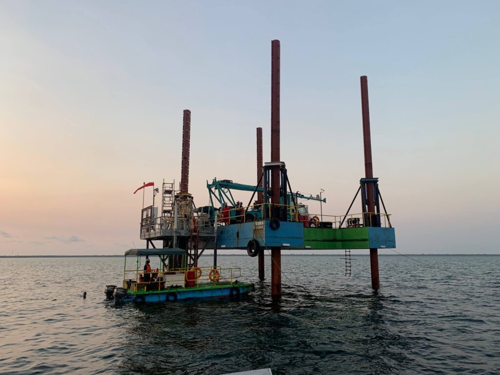
Shallow water sub-bottom profiling and geotechnical investigations (vibracoring, diver-operated drilling, boring, and in-situ testing)
Topographic surveys and LIDAR scanning of foreshore and backshore for 3D modelling of shoreline profiles
We combine local insight with international standards to deliver high-quality solutions for complex offshore, coastal, and underwater operations across East Africa.